
Elkins ZIP Coverage at a Glance
The Elkins ZIP code directory centers on 26241 for ordinary Elkins mailing, but an exact address still needs USPS confirmation. Census searches may also surface nearby 26283 because Census ZIP Code Tabulation Areas, called ZCTAs, are statistical shapes. They are not USPS routes and do not set the Elkins city line.
| ZIP Code | Areas Covered | Post Office | Notes |
|---|---|---|---|
| 26241 | Elkins city and the Elkins mailing community | Verify by exact address through USPS | Postal footprint and city limits differ |
| 26283 | Montrose and nearby Randolph County geography | Not an Elkins city-limit delivery ZIP | Appears in Census ZCTA context; verify each address |
No authoritative source in the research established an Elkins PO-box-only or unique ZIP, and no dated local ZIP split was found. That gap matters. It is safer to describe only the current verified postal and statistical relationships than to invent a boundary history.
Three Elkins ZIP Search Modes
The USPS lookup answers three distinct questions. Search by address when the street is known. Search by city and state to see recommended city and ZIP combinations. Search cities by ZIP when the number is known but the accepted city label is not. A result validates the mailing format, not the presence of a person or company.
| USPS Mode | Fields | What It Resolves |
|---|---|---|
| By Address | Company; street; unit; city; state; optional ZIP | Exact delivery ZIP and preferred address form |
| By City & State | City and state | Recommended city and ZIP combinations |
| Cities by ZIP | ZIP | City names associated with that ZIP |
The PostalPro AIS Viewer adds Address Lookup, City/State, County Name, Delivery Statistics, and ZIP+4 tools.
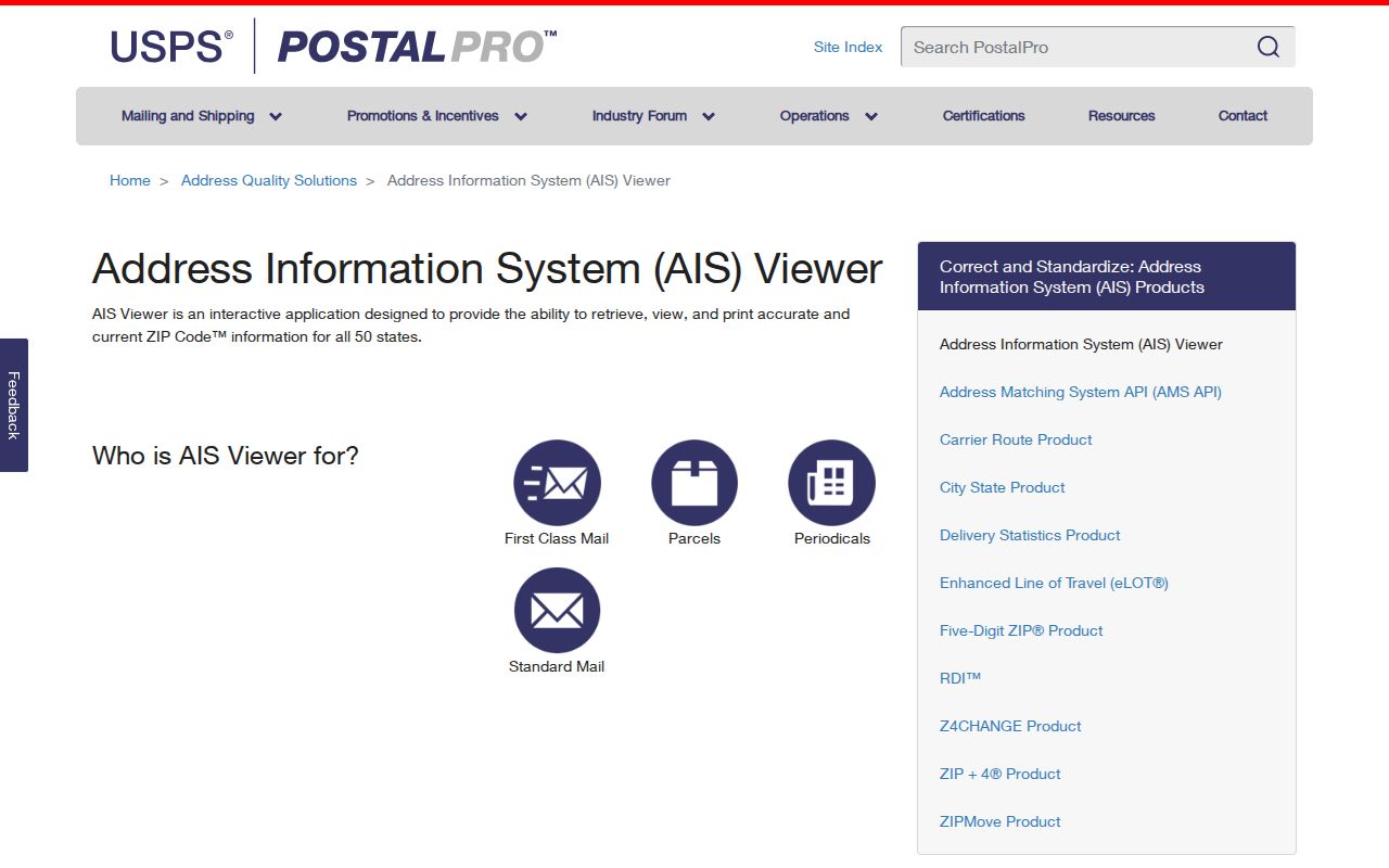
The viewer is updated monthly and does not permit data export, so it is best used to confirm one current Elkins-area address.
Why Elkins Census ZIPs Differ
Census data can group Elkins with ZCTAs that reach beyond the city. A ZCTA approximates where a ZIP is used so statistics can be tabulated. USPS, by contrast, manages delivery. Municipal government draws the city boundary. The three shapes may overlap without matching.
This explains why 26283 may appear beside Elkins in a Census geography query even though it is tied to Montrose and should not be labeled an Elkins city ZIP. Use Census for population and area comparisons. Use USPS for the delivery label. Use the City Clerk and parcel maps for jurisdiction.
Note: A ZIP attached to a Census table is not proof that every point in that ZCTA receives the same postal city name.
Finding Elkins Residents by ZIP
A ZIP code can narrow the geographic question, but the inspected assessor, GIS, and voter tools do not offer a simple public ZIP-wide resident list. USPS confirms delivery. GIS links a physical E-911 address to a parcel. Assessment records connect the parcel to the named owner and a separate mailing address. The voter lookup requires a first name, last name, and date of birth.
- Check the full street address through USPS and record the recommended city, state, and delivery ZIP.
- Use Elkins city maps to decide whether the point is inside municipal limits or in unincorporated Randolph County.
- Search the E-911 address in the WV Property Viewer, then record the parcel identifiers and physical address.
- Use the assessment search by county, district, owner, address, map, or parcel. Do not treat an owner's mailing ZIP as the parcel location.
- When the goal becomes a whole street rather than a postal area, continue with the Elkins street directory.
This sequence preserves the distinction between delivery, jurisdiction, and ownership. It also avoids claiming that every owner resides at the parcel.
Elkins Maps Beyond ZIP Codes
The City Clerk's maps cover zoning, wards, addressing, elections, public services, infrastructure, and projects. Those layers answer city questions. The WV Property Viewer answers parcel questions through E-911 addresses, boundaries, owner details, flood information, and assessment links. A deed supplies the legal description.
The official Elkins maps page links the municipal map set and its ArcGIS tools.
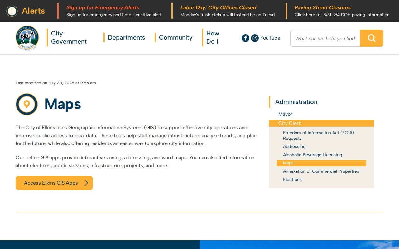
The screen is the right bridge from an Elkins postal label to the city ward, zoning, or addressing layer that actually governs the location.
Three Elkins Address Layers
An Elkins ZIP code directory becomes more accurate when three forms of address stay separate. The physical or situs address is where the parcel or structure is mapped. The mailing address is where the owner receives notices. The legal description identifies land through district, map, parcel, subdivision, lot, block, or survey terms.
- Situs address
- The mapped physical or E-911 location of a parcel or structure.
- Mailing address
- The destination used for tax or assessment correspondence, which may be elsewhere.
- Legal description
- The land description used in recorded deeds and plats, independent of a postal label.
- Parcel ID
- The assessor and mapping identifier that connects the map to the assessment record.
The statewide assessment search accepts county, district, full parcel ID, map number, parcel, and sub-parcel. Its data can lag county changes. Confirm disputed lines with the Assessor and the recorded plat.
Elkins Portals Without ZIP Filters
The inspected property and voter systems do not support a public resident search by ZIP. The WV Property Viewer excludes rural routes and PO boxes from its E-911 search. The assessment portal offers owner, physical address, county, district, parcel, value, sale, and prior-ownership fields, but no simple ZIP filter was documented. GoVoteWV also has no street or ZIP browse.
Useful workaround. Verify one address through USPS, map its parcel, and then use the public owner and deed fields rather than forcing a ZIP-wide roster.
This is a local version of a common myth: a searchable state portal is not a master list of Elkins residents. Each system has its own fields, dates, and custodian.
Older Elkins Records Before ZIP
Historical city directories may predate ZIP Codes and rely on street names, house numbers, wards, employers, or household names. When an old address will not validate, compare its publication year with deeds, plats, Sanborn maps, and City Clerk addressing records. Elkins was incorporated in 1890 and merged South Elkins in 1901, so the place label itself can change across sources.
No official local ZIP split or realignment timeline was found. Do not assign an old Elkins household a modern postal code merely because the present parcel uses it. Link the old and new address through a legal description, lot and block, nearby intersection, or parcel history.
Elkins ZIP and City Limits
A mailing city, postal ZIP, Census ZCTA, and Elkins city boundary answer four different questions. The recommended postal label routes mail. A ZCTA supports statistics. The municipal line decides which local government handles addressing. Parcel geometry ties a point to assessed land. A good ZIP code lookup names which layer supports each conclusion.
For 26241, verify each street through USPS and then the city or county map. Treat 26283 as nearby statistical context unless an exact address returns it. The Elkins ZIP code directory should not turn either number into a resident list or a fixed city outline.
- ZIP vs ZIP+4
- A ZIP identifies a delivery area; ZIP+4 narrows it to a smaller delivery segment.
- PO-box ZIP
- A ZIP assigned chiefly to post-office boxes rather than normal street delivery.
- Unique ZIP
- A ZIP assigned to one organization with enough mail volume to warrant it.
- Carrier route
- A set of delivery stops served by one postal route, not a city boundary.