
Walk an Elkins Street Record
A sound street-by-street search separates postal delivery, parcel identity, title, and occupancy. The Elkins street directory is therefore a chain, not one master roster. The first two links establish the place. Later links show ownership, city activity, or a dated person-to-address connection. Save each source date because the systems update on different schedules.
- Check the exact street form with the USPS ZIP Code Lookup. Keep unit information and the recommended city name.
- Enter the E-911 address in the WV Property Viewer. If it fails, browse the map or search parcel attributes.
- Use the parcel ID in the statewide assessment search. Record owner, physical address, mailing address, legal description, and deed reference.
- Follow the deed reference through the Randolph County Clerk, then work backward through each prior grantor and grantee.
- Ask for address-keyed permits and consult year-specific reverse directories for evidence about use or occupants.
This order prevents a mailing label from being treated as legal title. It also keeps a named owner from being called an occupant without another source.
Search Elkins Parcels by Street
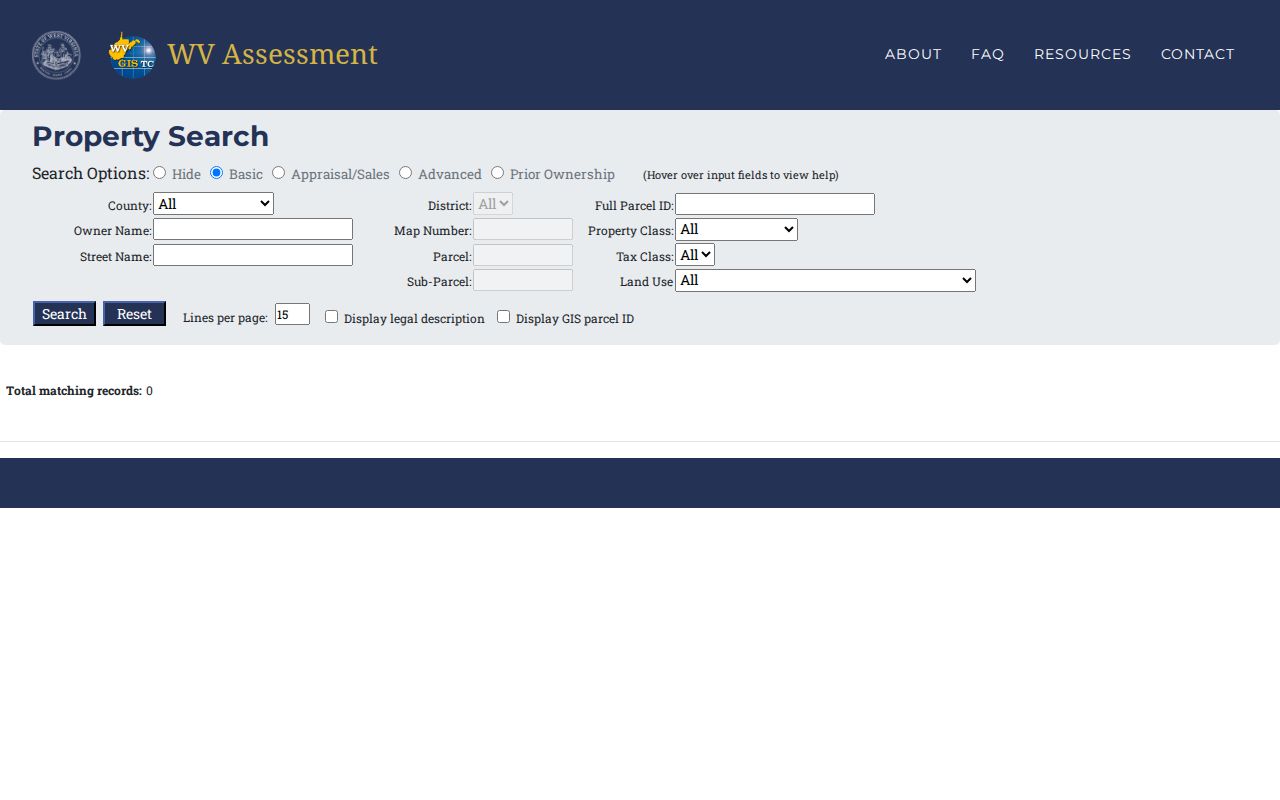
The West Virginia assessment search has far more than a single address box. Select County 42-Randolph, add the street name, and then use parcel or map data to separate similar results. The portal does not state an earliest coverage year, so it is a current research tool rather than a complete title history.
| Search field | Street use | Caution |
|---|---|---|
| County and District | Confines results to Randolph and a tax district | District may differ from postal wording |
| Street Name | Finds parcels by physical street | Test abbreviations |
| Owner or Mailing Address | Finds assessed owner or tax-mail destination | Neither proves occupancy |
| Parcel, Map, Full Parcel ID | Bridges to GIS and deeds | Keep the complete identifier |
| Deed Book/Page | Points toward a recorded instrument | Verify at the Clerk |
| Sale Date, Building Year | Narrows parcel and structure details | Data may lag updates |
The result can show a situs address apart from the owner's mailing address. That split matters when tax mail goes elsewhere or an estate, trust, company, or group owns the site. Appraisal and sales controls add dates, prices, acreage, and values. Advanced controls can add building area, legal wording, land use, tax class, and flood hazard. None of those fields turns a tax roll into a list of everyone who lives there.
The official screen shows the fields used for Elkins by-address work. Open the linked live search before relying on a saved result.
The Randolph County Assessor remains the correction route for a wrong parcel attribute or value.
Browse Elkins Streets in GIS
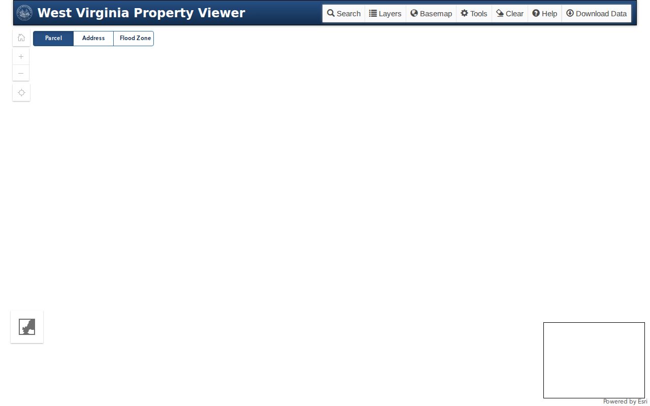
The WV Property Viewer begins with geography. Its E-911 field accepts a street, city, and state, but not a rural route or PO Box. Parcel Attributes can instead use county, parcel number, owner, or property address. Zoom along a street segment and click visible lots when text search falls short.
The result panel may provide owner, physical address, community, description, building details, values, delinquent status, flood information, and an assessment report. Search, Layers, Basemap, Tools, Clear, and Help sit above the map. A geometry buffer can gather parcels around a point or shape, and results can be exported as CSV. These are map clues, not a legal survey or household list.
The live viewer makes parcel adjacency visible. Check its current Randolph County layers before saving a street worksheet.
Carry the GIS parcel ID and legal description into assessment and deed searches instead of relying on map shape alone. Transfer-created parcel changes wait for county data, and parcel lines may lag a transfer in some cases. Recheck a boundary with the local assessor and recorded plat.
Elkins Street Directory Terms
Several short labels keep the three address layers apart. Define them before comparing records.
- Parcel
- A mapped tax unit identified by district, map, parcel, and sometimes sub-parcel fields.
- Situs address
- The physical location of a parcel or structure, distinct from the owner's mailing address.
- Plat
- A recorded map that may show subdivision, lots, blocks, roads, and parcel layout.
- Criss-cross directory
- A directory section arranged by street or telephone rather than only by surname; availability varies by edition.
A deed may rely on lot and block or metes-and-bounds language even when every current portal displays a street number. Keep both forms on the same research card.
Elkins Records Keyed by Address
Each record set contributes one layer to the Elkins street directory. The keeper and access route matter as much as the displayed name.
| Address source | Keeper | Evidence | Access route |
|---|---|---|---|
| Assessment roll | Randolph Assessor / WV | Owner, addresses, parcel, class, values | Web; local map card |
| Parcel GIS | WV Property Viewer | Parcel line, E-911 address, layers | Map, attributes, geometry, CSV |
| Deeds and plats | Randolph County Clerk | Parties, date, book/page, legal description | Terminal, LAREDO, Tapestry |
| Tax status | Randolph Sheriff | Tax and delinquency context | Public links and office |
| Permit or code file | City of Elkins | Site, parcel, proposed work, case evidence | Defined request or FOIA |
| Historical directory | Archives/library | Dated occupant or business listing | Catalog and reading room |
GoVoteWV is not a street-browse source. Its public form checks a known voter by first name, last name, and date of birth. A match confirms registration and polling geography, not a public list of all voters on a block.
Follow Elkins Deeds by Street
The parcel's current owner and legal description open the title trail. The Randolph County Clerk land-record page documents three routes: a free public terminal during stated business-day hours, prepaid LAREDO access available around the clock, and credit-card pay-per-search Tapestry. It does not publish the earliest online year.
Capture grantor, grantee, instrument type, recording date, book and page or instrument number, legal description, and any prior-deed link. Search the seller in the next earlier transfer, matching the same land. When a street name fails, try initials, subdivision, lot and block, district, map, parcel, and prior wording. Older books at the counter are the fallback.
Elkins Street Addresses Have Borders
The Elkins City Clerk addressing office assigns and changes addresses inside city limits. County mapping and addressing covers the wider Randolph area. New construction, subdivision, and physical-address requests inside Elkins go to the Clerk. Only an owner may request a change unless the owner consents.
The city sends changes to Randolph County Mapping and Addressing and then to state emergency-management systems. Those state updates are roughly annual, while private navigation services may update on their own pace. Elkins merged South Elkins in 1901. An old source using “Elkins” is not proof that a site always lay within the same boundary.
No official citywide renumbering schedule was found. Bridge an old label with city maps, parcel ID, plats, deed descriptions, and Sanborn sheets rather than inventing a rename date.
Request Elkins Files by Address
The Elkins Building, Code, and Zoning Department ties applications to a street address, zoning district, district/map/parcel, proposed use, work type, and owner or authorized-agent certification. A box on a blank form does not prove that work was approved.
No public searchable permit or code-case index was located. Ask the city for a defined address and file type. The City Clerk's FOIA form permits email, U.S. mail, fax, or in-person submission, plus paper, electronic, or inspection delivery. Research records a charge of 25 cents per page, no fee below five pages, and no fee for in-person review, with actual media or postage costs when needed.
Separate application, approval or denial, inspection, correction, and completion dates. That keeps a proposed project from being described as finished work.
Older Elkins Streets and Maps
Modern parcel screens do not reach every old Elkins address. WVU lists Sanborn maps for 1899, 1902, 1905, 1910, and 1923. They can show footprints, materials, stories, uses, streets, property lines, and house or block numbers. They cannot name every occupant or prove title.
The March 17, 1897 fire destroyed much of the original business district on Davis Avenue, which was rebuilt in brick and stone. Compare deeds and newspapers before the fire with later Sanborn sheets. Do not claim county records burned; the researched account concerns the business district, not courthouse archives.
Year-specific occupant work belongs in the Elkins city directory collections. Its State Archives run has gaps, so record the exact edition and page rather than assuming annual coverage.
Limits of Elkins Street Records
An assessor owner is not a complete household list. A mailing address may be elsewhere, and GIS may shorten shared ownership. A known-person voter lookup is not a street roster. Utility customers, unpublished phone numbers, visitors, and people protected by address-confidentiality rules remain outside public parcel tools.
Use a street directory for property, civic, and family-history questions. Treat an absent name as unresolved, especially when an archive year is missing or a portal has no stated coverage start. A person may have moved after directory compilation, while deeds and maps update on different dates.