
Elkins Neighbors Across Public Sources
A block lookup works best when each source answers a narrow question. The parcel viewer shows boundaries and lets a user move from one lot to nearby lots. Assessment data names titled owners and may show a mailing address distinct from the property. City maps explain wards, zoning, and city limits. Permit or code files add address-specific municipal activity when the custodian releases it. Historical sources show earlier Elkins neighbors and what the same block looked like in another year.
| Source | What It Shows About a Block | Access |
|---|---|---|
| WV Property Viewer | Parcel shapes, E-911 address, owner detail, community and map layers | Free interactive map |
| WV assessment roll | Owner, situs and mailing addresses, values, parcel and deed references | Free state search; Assessor office |
| Randolph County deeds and plats | Legal boundaries, parties, lot and subdivision context | Terminal, LAREDO, Tapestry |
| Elkins city files | Ward, zoning, addressing, permit and code context | City maps; defined records request |
| GoVoteWV | Status and polling geography for one known person | Name and date-of-birth lookup only |
| Library and archives | Earlier households, buildings, news and civic links | Catalog, reading room, microfilm |
Ownership and occupancy are different. A mailing address elsewhere may suggest an owner does not occupy the parcel, but it does not identify the current household. A trust, estate, company, or several people may hold title. The GIS detail may display one owner even when ownership is shared. Build a worksheet of parcels and sources, then mark every unconfirmed occupant as unknown.
Explore Elkins Parcels Nearby
The WV Property Viewer accepts an E-911 address, owner, property address, parcel attributes, coordinates, or a drawn geometry with a buffer. A buffer is a set distance around a point or shape. Search the known address first, zoom until parcel lines are distinct, then click the lots that share a boundary or face it across the street. The detail panel can show community, E-911 address, owner, description, flood information, building and appraised values, and an assessment link.
The viewer searches E-911 addresses and does not accept rural routes or post office boxes. If the street form fails, select Randolph County and search parcel attributes, owner, or physical address. Results may be exported to CSV. This approach maps nearby parcels, not all neighbors inside them. SAMS supplies address data and IAS supplies owner and parcel data, but the local assessor remains the correction route.
Note: A drawn radius may include lots on another street or outside Elkins, so inspect boundaries rather than treating distance as community membership.
Separate Elkins Owners From Occupants
The state assessment search includes County, District, owner, street name, parcel, map number, land use, values, mailing address, deed book and page, legal description, building year, and prior sale fields. Set County to Randolph, then use the parcel details gathered from the map. Compare the physical address with the mailing address without calling either one proof of residence.
- Situs address
- The mapped physical location of a parcel or structure.
- Mailing address
- The place where the owner receives assessment or tax mail.
- Parcel
- A mapped unit of land with its own county identifier.
- Plat
- A recorded drawing of lots, streets, and boundaries in a subdivision or survey.
A residential property class describes tax treatment, not the people inside a home. Delinquent status is also a tax field, not evidence about conduct or occupancy. For a boundary dispute or deed question, confirm the map against a recorded plat and the County Clerk's legal record.
Map an Elkins Block Outward
Keep the scope to the immediate block. Starting with one known parcel prevents same-street names elsewhere in Randolph County from entering the list. Record each parcel ID before adding an owner name, then use legal descriptions when lot lines or street labels are unclear.
- Locate the E-911 address in WV Property Viewer and save the starting parcel ID.
- Click the parcels sharing a boundary, then the parcels directly across the road.
- Open assessment details for owner, physical address, mailing address, legal description, and deed reference.
- Mark owner, possible occupancy, and confirmed occupancy as separate fields.
- Use the County Clerk deed or plat when a parcel split, shared title, or old boundary needs proof.
This method answers who owns the lots closest to one address. A whole road requires the broader Elkins street directory workflow, which uses street-name filters and a longer deed chain.
Add Elkins Civic Geography
The City Clerk maintains links for zoning, wards, addressing, elections, infrastructure, and project geography. These layers describe civic boundaries, not residents. Elkins address authority ends at city limits, while Randolph County Mapping and Addressing maintains the broader county system. A postal Elkins label can therefore sit outside the municipal area.
The Elkins City Clerk is the routing point for municipal records and explains which records belong with county offices.
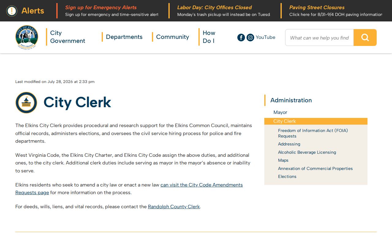
Use the clerk to confirm whether a permit, address, election, or council file exists. Deeds, wills, liens, and vital records route to the Randolph County Clerk instead.
Check One Known Elkins Voter
GoVoteWV is not a block roster. Its public form asks for first name, last name, and date of birth. A match can show status, party, political districts, and polling place. It cannot be searched by street or ZIP in the inspected form, and ballot choices are secret. Recent moves or changes may not appear until a nightly update and county confirmation.
The Elkins municipal election archive supplies ward results from 2013 through 2025.
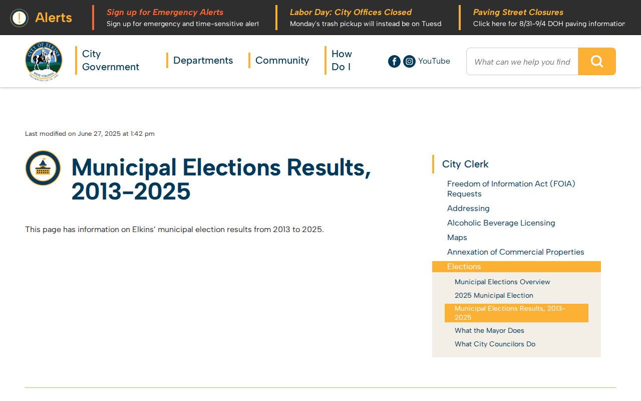
Those results place a block within local civic history but do not identify its voters. Registration questions and corrections go to the Randolph County Clerk at 2 Randolph Avenue, 304-636-0543.
Request Elkins Address Files
Elkins has no public indexed permit or code-case search in the research. The Building, Code Enforcement and Zoning Department's permit application ties an address to a zoning district, District, Map and Parcel, proposed use, work category, and owner or authorized agent. That form describes what may exist, but a blank checkbox never proves that a permit was issued.
Ask for a defined address file through the city FOIA process. The request form permits email, mail, fax, or in-person submission and lets the requester choose paper, electronic delivery, or in-person review. Paper copies cost 25 cents per page, with no fee under five pages or for in-person inspection. State the address, likely date span, and record type.
Find Elkins Community Context
No verified public neighborhood-association or homeowners roster was located for Elkins. Do not invent one or infer membership from an address. For Elkins neighbors, the useful community layer comes from institutions that preserve public context: the Elkins-Randolph Public Library, Randolph County Historical Society, Allegheny Regional Family History Society, and Beverly Heritage Center.
Elkins Library
Yearbooks, Forest Festival programs, maps, local documents, microfilm, and Elkins Enterprise newspapers. Call 304-637-0287 before requesting a collection.
Historical Society
County business and individual records, artifacts, and documents. Contact 304-637-7424 or arrange research access.
ARFHS
Genealogical resources, cemetery listings, and publications at the IOOF Building on US 250 South. Hours listed are Wednesday 1-4 and Saturday 10-2, or by appointment.
Older block context may also come from Elkins directories, newspapers, and Sanborn maps. Historic districts include Downtown Elkins, Wees, Graham-Davis, and Davis & Elkins. A district name helps choose a map or newspaper search, but it is not a current household list.
Official Elkins Records Compare Better
Official sources are slower because their duties are narrow, but each has a named correction path. Commercial neighbor tools merge public and purchased data, may retain stale links, and often blur owner, occupant, relative, and former address. They are leads, not proof, and no paid compilation can change the source record.
| Source type | Strongest use | Main limit |
|---|---|---|
| Parcel and assessment | Current mapped lot and titled owner | Does not list all occupants |
| Deed or plat | Legal ownership and boundaries | May use old descriptions, not street text |
| City file | Ward, permit, zoning, or code context | Must be requested when no index exists |
| Commercial compilation | Possible name or address lead | Unknown age, merges, and correction quality |
Correct an official error with the Assessor, County Clerk, City Clerk, or election office that holds it. A commercial opt-out removes a compiled profile, not the originating record.
Respect Elkins Neighbor Privacy
Public access stops at record-specific limits. Renters and household members are not named by the property roll. Utility customer data and delivery files are not public block directories. Court files may be sealed or expunged, and sensitive identifiers can be redacted. A missing address or non-match cannot be reverse-engineered into a claim about a person.
West Virginia's Address Confidentiality Program gives eligible survivors a designated address that state and local agencies and courts must accept. Enrollment uses a registered Application Assistant and can last four years while requirements are met. The real residential address is protected except under listed legal exceptions. Respect that protection.
Lawful use. Use neighbor records for civic knowledge, property context, reconnecting, or personal safety. West Virginia law prohibits stalking, threats, intimidation, and repeated harassment.